ImageMosaic
The ImageMosaic data store allows the creation of a mosaic from a number of georeferenced rasters. The plugin can be used with GeoTIFFs, as well as rasters accompanied by a world file (.pgw for PNG files, .jgw for JPG files, etc.).
The “Mosaic” operation creates a mosaic of two or more source images. This operation could be used for example to assemble a set of overlapping geospatially rectified images into a contiguous image. It could also be used to create a montage of photographs such as a panorama.
The best current source of information on configuring an ImageMosiac is the tutorial: Using the ImageMosaic plugin.
Adding an ImageMosaic data store
By default, ImageMosaic will be an option in the Raster Data Sources list when creating a new data store.

ImageMosaic in the list of raster data stores
Configuring an ImageMosaic data store
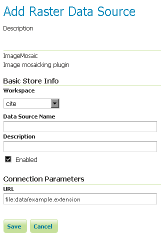
Configuring an ImageMosaic data store
| Option | Description |
| Workspace | |
| Data Source Name | |
| Description | |
| Enabled | |
| URL |