Web Administration Interface Quickstart
The Web Administration Tool is a web based used to configure all aspects of GeoServer, from adding data to tweaking service settings. The web admin tool is accessed via web browser at http://<host>:<port>/geoserver. http://localhost:8080/geoserver/web in a default installation running on the local host.
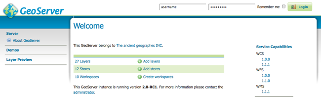
Welcome Page
Logging In
In order to change any server settings or configure data a user must first be authenticated. Navigate to the upper right hand corner to log into GeoServer. The default username and password is admin and geoserver. These can be changed only by editing the security/users.properties file in the GeoServer Data Directory.

Login
Server
The :guilabel: Server section of the web admin provides access to GeoServer environment information. It is a combination of diagnostic and configuration tools, and can be particularly useful for debugging. The Server Status page offers a summary of server configuration parameters and run-time status
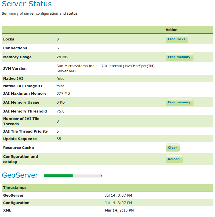
Status Page
The Contact Information section sets the public contact information in the Capabilities document of the WMS server.
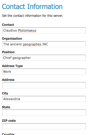
Contact Page
The Global Settings page configures messaging, logging, character and proxy settings for the entire server.
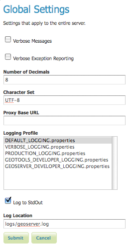
Global Settings Page
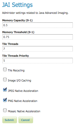
The JAI Settings page is used to configure several JAI parameters, used by both WMS and WCS operations.
JAI Settings
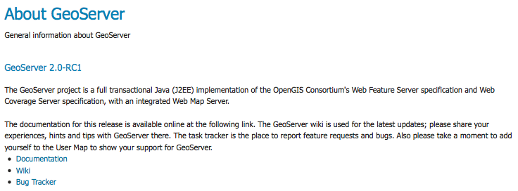
The About GeoServer section provides links to the GeoServer documentation, homepage and bug tracker.
About Section
Services
The Services section is for advanced users needing to configure the request protocols used by GeoServer. The Web Coverage Service (WCS) page manages metadata information, common to WCS, WFS and WMS requests. The Web Feature Service (WFS) page permits configuration of features, service levels, and GML output. The Web Map Service (WMS) page sets raster and SVG options.
Data
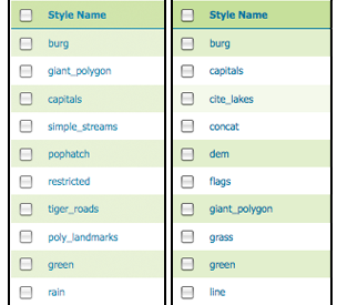
The Data links directly to a data type page with edit, add, and delete functionality. All data types subsections follow a similar workflow. As seen in the Styles example below, the first page of each data type displays a view page with an indexed table of data.
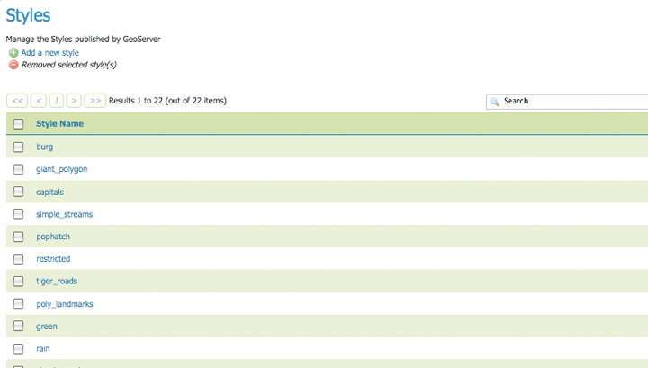
Styles View page
Each data type name links to a corresponding configuration page. For example, all items listed below Workspace, Store and Layer Name on the Layers view page, link to its respective configuration page.
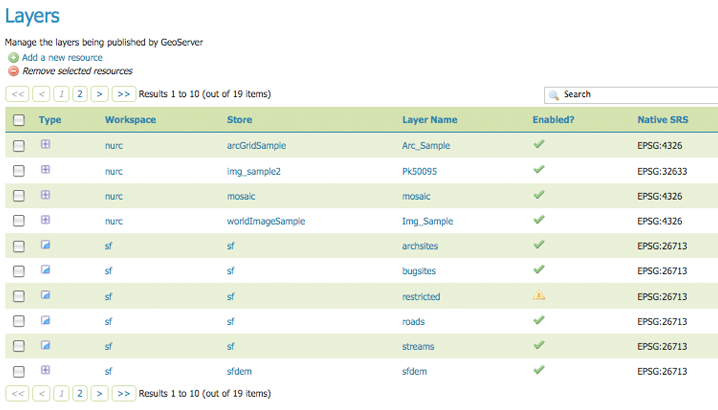
Layers View
In the data type view panel, there are three different ways to locate a data type–sorting, searching, and scrolling .
To alphabetically sort a data type, click on the column header.
On the left an unsorted column; on the right a sorted column.
For simple searching, enter the search criteria in the search box and hit Enter.
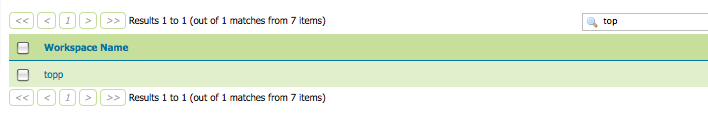
Search results for the query “top”.
To scroll through data type pages, use the arrow button located on the bottom and top of the view table.

Page scroll for data types.
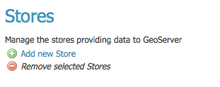
As seen in the Stores example below, the buttons for adding and removing a data type can be found at the top of the view page.
Buttons to add and remove Stores
To add a new data, select the Add button, and follow the data type specific prompts. To delete a data type In order to remove a data type, click on the data type’s corresponding check box and select the Remove button. (Multiple data types, of the same kind, can be checked for batch removal.)
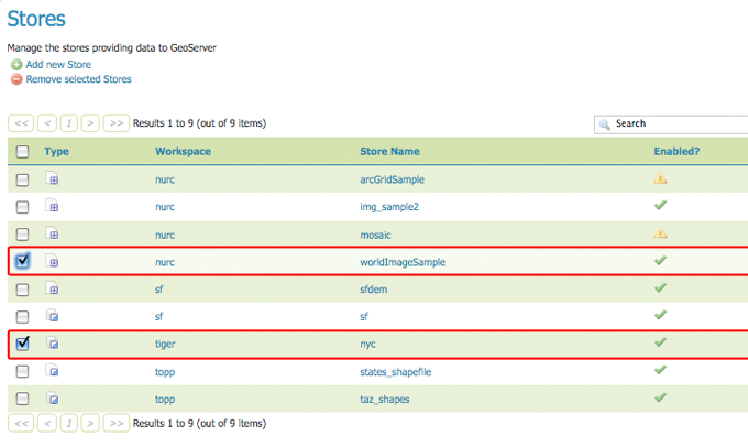
Stores checked for deletion
Demos
The Demos page contains links to example WMS, WCS and WFS requests for GeoServer as well as a link listing all SRS info known to GeoServer. You do not need to be logged into GeoServer to access this page.
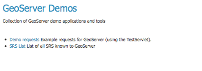
Demos page
Layers Preview
The Layers Preview page provides layer views in various output formats, including the common OpenLayers and KML formats. This page helps to visually verify and explore the configuration of a particular layer.
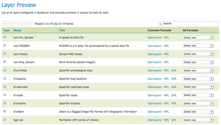
Layer’s Preview page
Each layer row consists of a type, name, title, and available formats for viewing. Name refers to the Workspace and Layer Name of a layer, while Title refers to the brief description configured in the Edit Layer Data panel. Common Formats include OpenLayers and KML output, while the All Formats include additional output formats for further use or data sharing.

Single Layer preview row